SPATIAL ANALYSIS & MODELING
As a Senior Consultant in WSP with expertise in spatial data management and analysis with HS2 as main long term project. With focus on quality and visual communication, working across a broad range of services I have also completed a number of short-term projects.
PROJECTS
Samples of My Work
STUDENT PROJECT - SPATIAL ANALYSIS

Poster displaying analysis results.
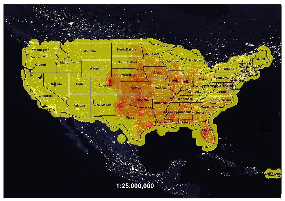

Poster displaying analysis results.
TORNADO ANALYSIS FROM 1959 – 2009
I have used GIS to analyse and show areas affected by tornados in fifty year’s period. NOAA, 2010, while citing the Glossary of Meteorology (AMS 2000), defines tornado as "a violently rotating column of air, pendant from a cumuliform cloud or underneath a cumuliform cloud, and often (but not always) visible as a funnel cloud."
SPATIAL DATA MANAGEMENT & ANALYSIS
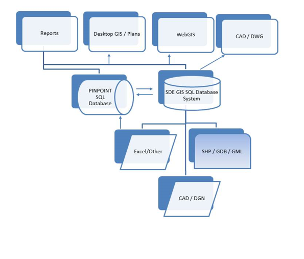
Spatial Databases The main spatial database ArcSDE is held and maintained by the 5 staff strong Geospatial team. It enables data storage as well as data to be published through ArcGIS Web Server. WSP GSS team also use a combination of the ESRI personal geodatabase and Microsoft Access for storing spatial and non-spatial data. Standard SQL Database PinPoint is in house developed intuitive system for storing Land Referencing data which was joined with Spatial Database system to provide up to date information to client.
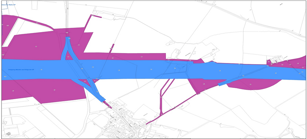
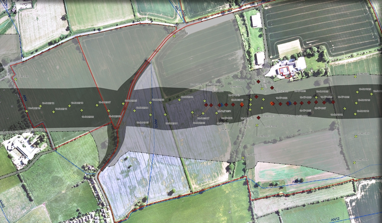

Spatial Databases The main spatial database ArcSDE is held and maintained by the 5 staff strong Geospatial team. It enables data storage as well as data to be published through ArcGIS Web Server. WSP GSS team also use a combination of the ESRI personal geodatabase and Microsoft Access for storing spatial and non-spatial data. Standard SQL Database PinPoint is in house developed intuitive system for storing Land Referencing data which was joined with Spatial Database system to provide up to date information to client.
High Speed Rail 2
Responsible for AutoCAD and GIS data management, management of spatial data in relational database management system (ArcSDE) and ensuring the appropriate spatial data structure for the final product delivery is in place.
Finding solutions for better data control to reduce the amount of Land Owners affected by the scheme. Automating GIS workflows to improve efficiency and deliver project on time or sometimes before deadline.
Other responsibilities include; map making, quality control and Web Mapping application deployment.
VISIBILITY ANALYSIS - MULTIPLE PROJECTS
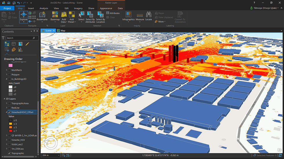
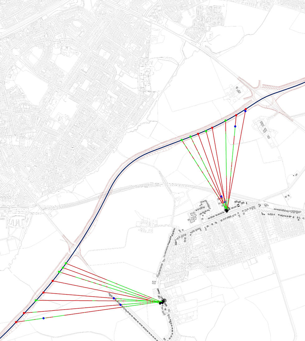
Scholes Line of sight for Vehicle 1.8m high
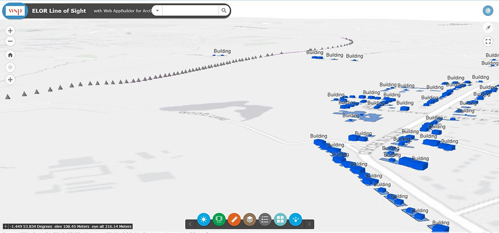

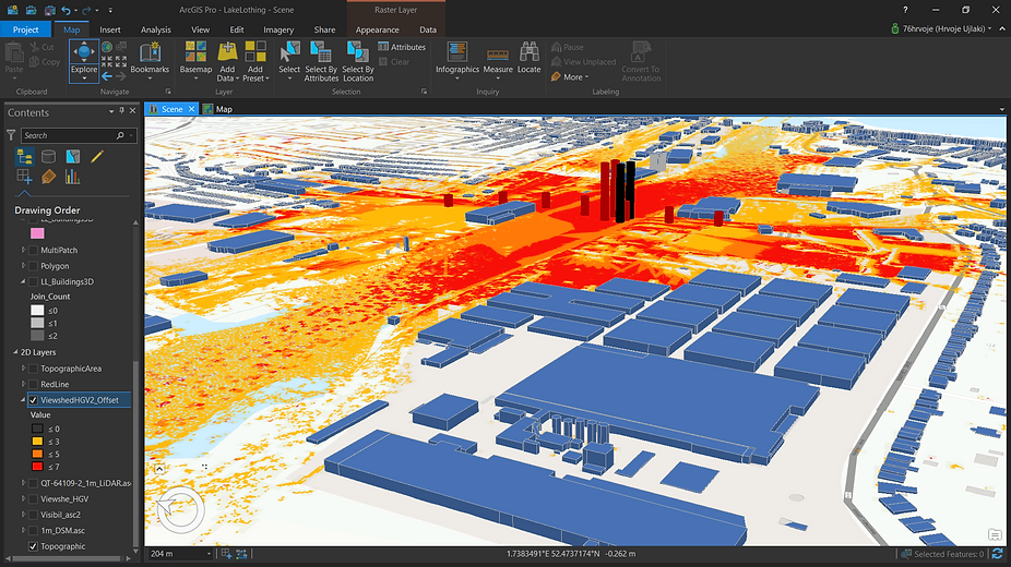
Line of sight and viewshed analysis
Project examples are from Scholes and Lake Lothing Third Crossing projects. The aim was to determine if there is Visual line of sight between houses in Scholes and new proposed highway.
Visual analysis is conducted with use of with combination of CAD and Geographical Information Systems. Main software’s used were AutoCAD 2014 and ESRI ArcGIS Online and ArcMap.
TRAFFIC ANALYSIS AND MODELING
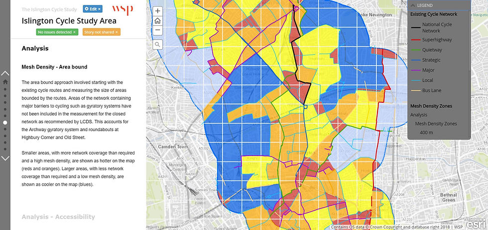
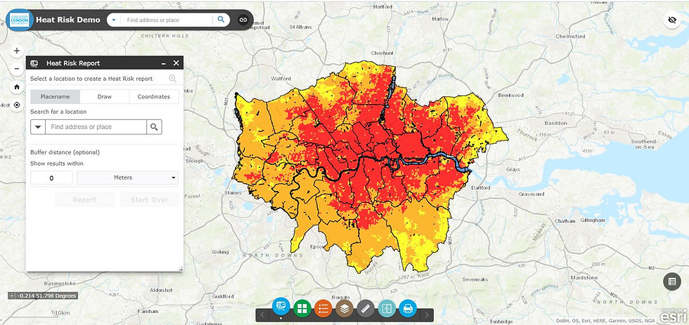
Results of Mesh analysis shared with client in form of Story Maps. Analysis was done in ArcGIS Pro and shared using ArcGIS Online.

App was developed using ArcGIS Online Web App builder. Aim was to collect feedback from external stakeholders. Roads were classified by WSP and then updated by local cycling club members. n checked and

Results of Mesh analysis shared with client in form of Story Maps. Analysis was done in ArcGIS Pro and shared using ArcGIS Online.
Analysis of cycling potential for London Borough of Islington
WSP was commissioned to prepare a review of cycling demand for the London Borough of Islington. The purpose of the study is to allow LB Islington to be in a strong position of knowledge and understanding as it moves forward towards bidding for money to support and promote cycling.